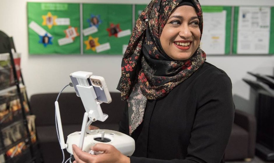
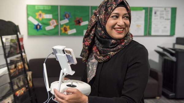
Led by CQU’s drone, internet of things, mechatronics and agriculture specialists, the project over the next two years will feature the use of light-weight drones to snap millions of ultra-high-resolution images of weeds in large farmlands in Central Queensland. Imagery data will be processed to create GPS location of weeds.