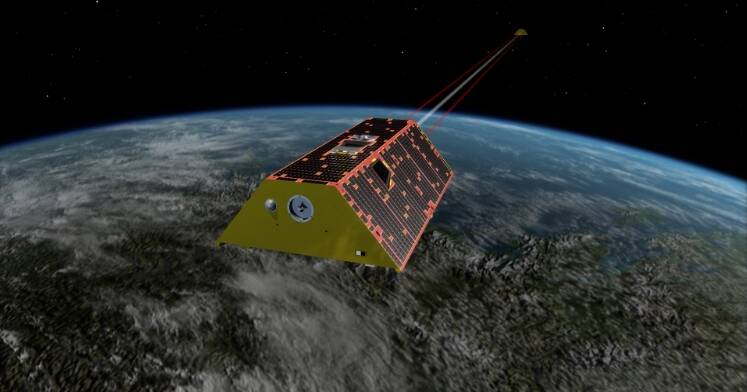

The project will provide a new national capability to assess and monitor groundwater resources from space, providing data for government, farmers, communities and traditional owners to be better prepared for future droughts, increase disaster preparedness and sustainably manage groundwater resources in a changing climate.