
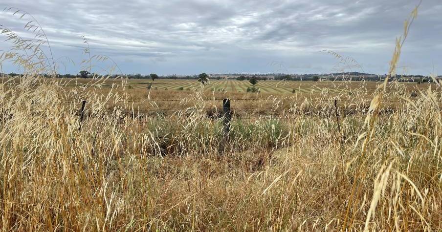
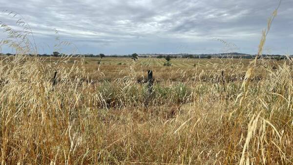
“Laying a boundary snapshot over a publicly available satellite image will lead to overly simplistic analysis, for example by trying to calculate the height of a tree from a shadow, instead of using high precision Lidar. It risks wrongly underestimating the achievements of carbon farming projects.”