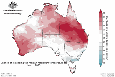
Hot, windy and mostly dry conditions are leading to significant fire dangers in eastern and northern NSW from today through Wednesday, with a low to severe intensity Heatwave Warning current.
 Fire dangers reach extreme on Monday and Tuesday, with Fire Weather Warnings current for the Greater Hunter, Central Ranges and Lower Central West Plains districts.
Maximum temperatures are forecast to spike 6 to 12°C above average across eastern parts of NSW. If Sydney reaches its forecast Monday maximum of 38°C, it will be its hottest March day since March 2020, and the hottest day in the city…


