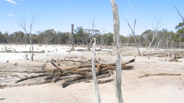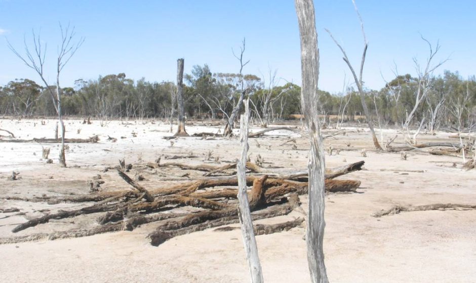
The initiative used satellite imagery, high resolution topographic data, ground information and geographic information system data sets, supported by ground-truth mapping by DPIRD hydrologists, to confirm 1.75 million hectares of salt-affected land across the region.


